
Key Selling Points
✅ Triple-Sensor Dominance
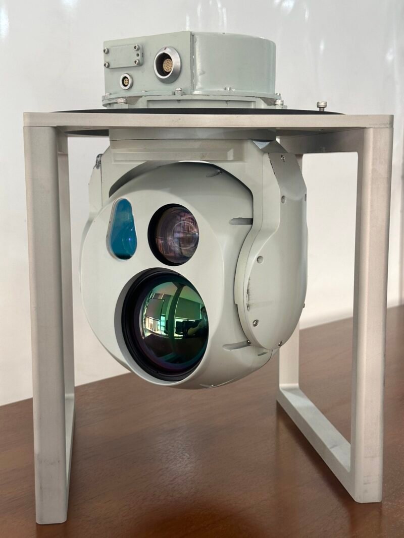
- HD Visible (1920×1080) + LWIR (640×512) + Laser Rangefinder: Single-platform intelligence fusion
- 6km Visible / 4km Thermal Detection: Identify 4x6m targets at NATO-standard ranges
✅ Elite Stabilization & Tracking
- ≤0.1mrad RMS Stability: Maintains lock at ≥60°/s maneuvers (e.g., UAV turbulence)
- ≤0.6mrad Tracking Accuracy: Pinpoint moving targets in urban/arctic environments
✅ SWaP-Optimized Integration
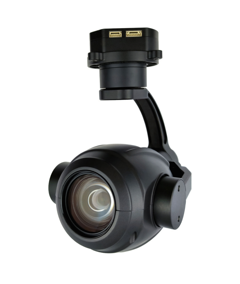
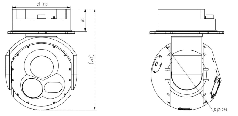
- Ultra-Lightweight: <3.5kg | Φ184×272.9mm (50% lighter than FLIR Star SAFIRE)
- Low Power: <50W avg. | 28VDC (fits Tier 2 UAVs like ScanEagle)
✅ Ruggedized Reliability
- -40°C to +55°C Operation: Arctic to desert performance
- IP54 Environmental Sealing: Dust/moisture protection
Technical Specifications
| Parameter | Specifications |
|---|---|
| System indicators: | |
| Swing range | Full 360° Continuous Azimuth Rotation |
| Pitch angle | +10°~-110°(0° at horizontal forward position, positive for upward, negative for downward) |
| Maximum search angular velocity | ≥60°/s |
| Maximum tracking angular velocity | ≥10°/s |
| Stable accuracy | ≤0.1mrad(RMS) |
| Tracking accuracy | ≤0.6mrad(RMS) |
| Power supply | 28VDC |
| Power consumption | <50W(Average) <150W(Peak) |
| Weight | <3.5kg |
| Size | Φ184mm×272.9mm |
| Environmental adaptability: | |
| Operating temperature | -40℃~+55℃ |
| Storage temperature | -45℃~+65℃ |
| Visible light imaging: | |
| Resolution | 1920×1080 |
| Wavelength | 0.4μm~0.7μm |
| Range coverage | Detection Range:≥6km; Identification Range:≥3.5km(Conditions: Visibility ≥23 km, relative humidity ≤70%, 5K Temperature difference between target and background, tested on a 4 m×6 m target). |
| Infrared thermal imaging: | |
| Resolution | 640×512 |
| Wavelength | 8μm~12μm |
| Range Coverage | Detection Range:≥4km; Identification Range:≥2km(Conditions: Visibility ≥23 km, relative humidity ≤70%, 5K Temperature difference between target and background, tested on a 4 m×6 m target). |
| Laser Ranging: | |
| Operating Wavelength | 1535nm |
| Ranging Range | 100m~4000m |
Note:We offer professional OEM/ODM services including solution design and manufacturing for all products, and have a full-process technical support team.
Core Functions
- Dual-Band Imaging: Simultaneous visible/thermal streaming
- Auto-Tracking: Lock & follow targets at ≥10°/s
- Laser Targeting: GPS coordinates via rangefinder
- Smart Analytics: Onboard OCR, image enhancement, video storage
- Self-Diagnostics: Real-time health monitoring
Applications
- Defense: UAV ISR (MALE/HALE), border patrol, C-UAS
- Critical Infrastructure: Power line/pipeline inspection
- Public Safety: Disaster management (wildfire/flood)
- Urban Security: Port monitoring, event surveillance
Compliance & Certifications
- CE/FCC Part 15B (EMC)
- MIL-STD-810H (Vibration/Temperature)
- RoHS 3/REACH SVHC
- ITAR-Free (Dual-use compliant)