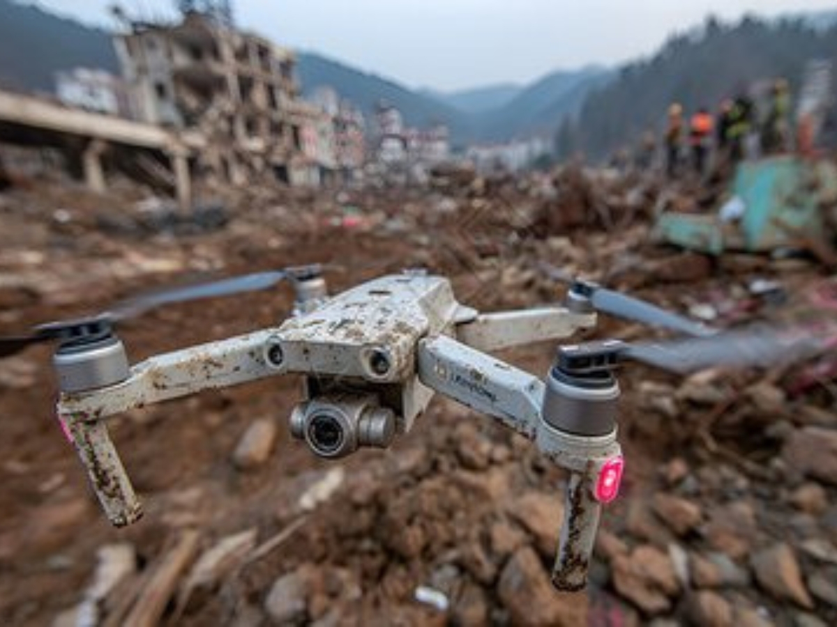
In earthquake disaster zones, every minute counts—traditional search and rescue (SAR) teams often struggle with limited visibility, unstable rubble, and time-consuming manual searches. But breakthrough drone technology, integrated with AI thermal imaging and laser rangefinder-powered point cloud modeling, is transforming survivor detection. This innovation cuts search time by 70% and boosts accuracy, turning impossible rescues into tangible results. Let’s explore how this synergy works and why it’s becoming a must-have for SAR teams worldwide.
How Laser Rangefinders Enable Precision in Rubble Rescue
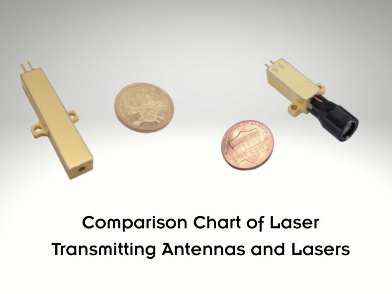
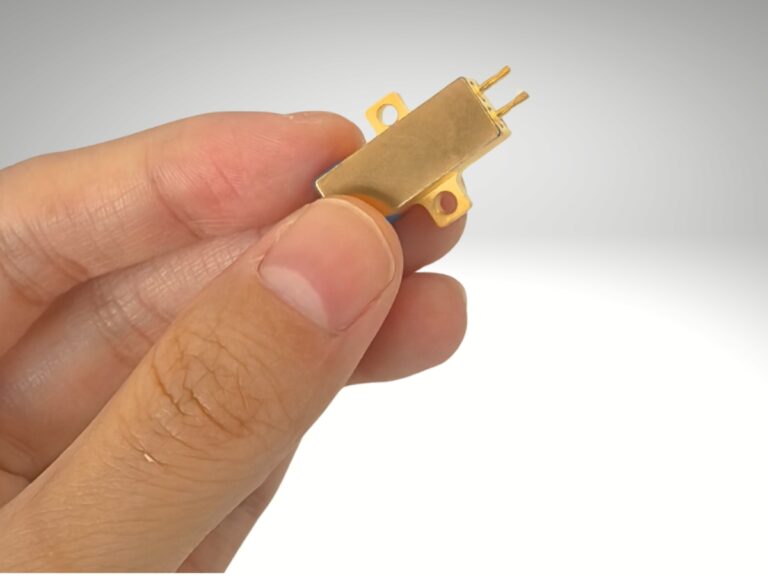
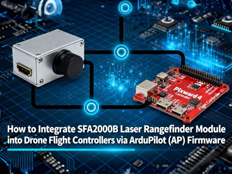
At the core of this technology lies the laser rangefinder (or laser distance sensor), a critical component that overcomes the chaos of earthquake rubble. Unlike standard optical sensors, a drone-mounted laser rangefinder calculates precise distances to debris, structural edges, and even faint heat signatures—laying the groundwork for 3D point cloud modeling.
Here’s the technical workflow:
- The drone’s laser rangefinder emits 100,000+ laser pulses per second, mapping the rubble’s topography with millimeter-level precision.
- AI thermal imaging identifies heat signatures (36–37°C, matching human body temperature) that might be hidden under concrete or debris.
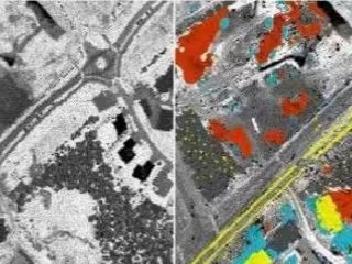
- The laser rangefinder’s distance data merges with thermal data to generate a 3D point cloud—creating a detailed, measurable model of the disaster zone.
- AI algorithms analyze the point cloud to distinguish between survivor heat signatures and environmental noise (e.g., warm debris), flagging potential locations for SAR teams.
Key Performance: Laser Rangefinder-Powered Drone vs. Traditional SAR Methods
| Specification | Traditional SAR (Manual + Basic Drones) | Our AI Thermal + Laser Rangefinder Drone |
|---|---|---|
| Search Time for 10,000㎡ Rubble | 8–12 hours | 2–3 hours |
| Survivor Detection Depth | Up to 0.5m under debris | Up to 2m under debris |
| Location Accuracy | ±50cm | ±10cm |
| Core Sensor | Optical cameras only | Laser rangefinder + AI thermal imaging |
| Ability to Map Unstable Rubble | Limited (safety risks) | High (drone-based, no human entry) |
| Data Output | 2D images | 3D point cloud + heat signature annotations |
FAQ: Laser Rangefinder-Powered SAR Drones
Q: How does a laser rangefinder handle uneven, unstable earthquake rubble?
A: Our drone’s laser distance sensor uses adaptive pulse technology, adjusting beam intensity to avoid false readings from jagged concrete or loose debris. It maps even the most irregular surfaces, ensuring the point cloud accurately reflects the rubble’s structure.
Q: Can the system work in low light or rainy conditions?
A: Yes. The laser rangefinder operates independently of ambient light, and the AI thermal imaging is enhanced with noise-reduction algorithms. It performs reliably in rain, fog, or nighttime—critical for 24/7 SAR operations.
Q: Is the 3D point cloud easy for SAR teams to use?
A: Absolutely. The data integrates with standard SAR software (e.g., ArcGIS, DroneDeploy) and displays on tablets with intuitive markers. Teams don’t need specialized training to interpret survivor locations flagged by the AI.
Q: How does this drone compare to other laser scanner-equipped SAR tools?
A: Unlike stationary 3D laser scanners, our drone-mounted system covers large areas quickly and accesses hard-to-reach spots (e.g., collapsed building tops). The laser rangefinder’s 5km maximum range also outperforms most consumer-grade drone sensors (limited to 1km).
By combining the precision of a laser rangefinder with AI thermal imaging and point cloud modeling, this technology redefines what’s possible in earthquake rescue. It’s not just about speed—it’s about giving survivors a fighting chance when every second matters. For SAR teams, government agencies, and disaster response organizations, this drone system is no longer a luxury—it’s a lifeline.
Ready to enhance your disaster response capabilities? Contact our team for a live demo and learn how our laser rangefinder-powered SAR drone can support your mission.